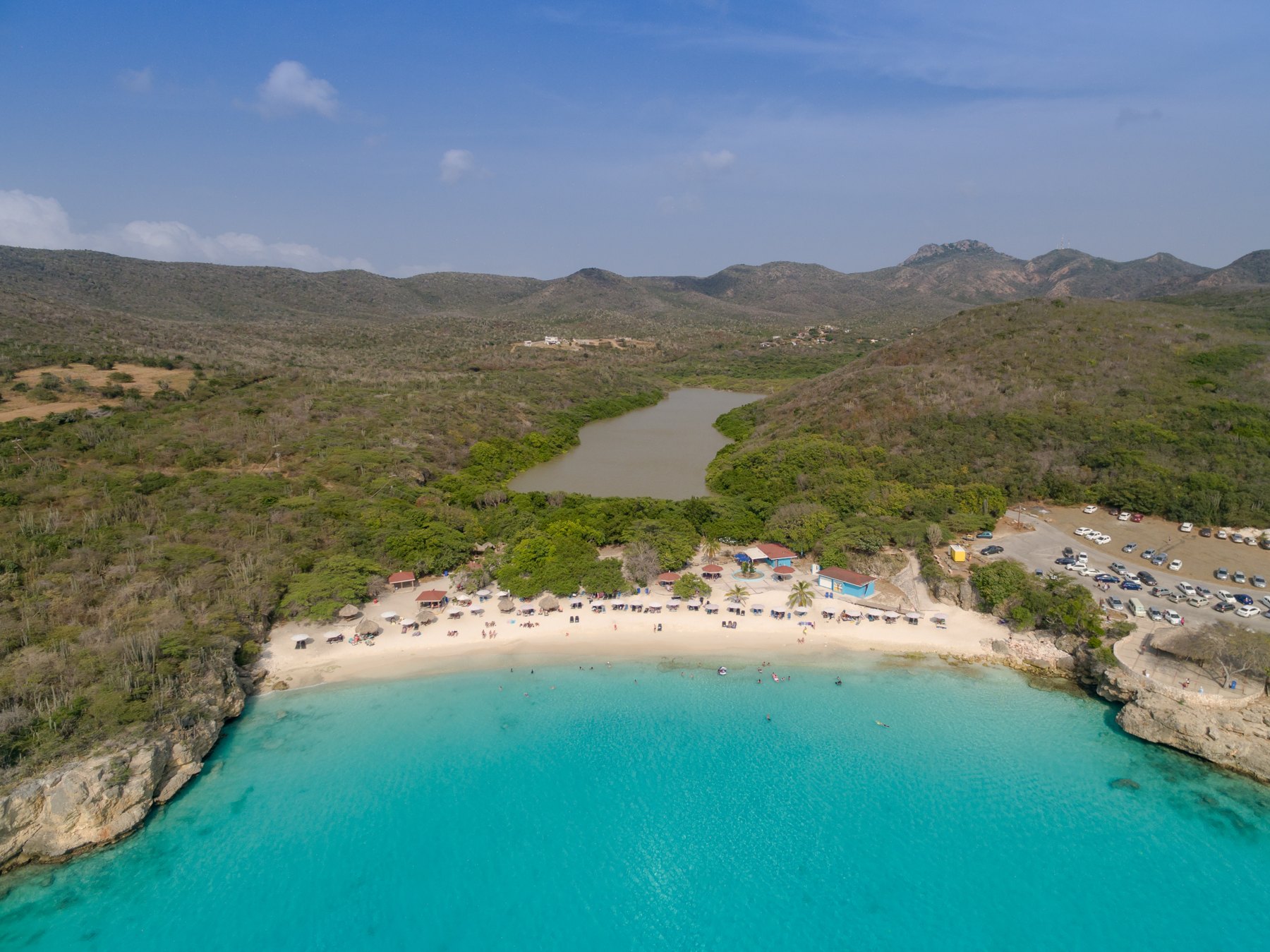
Banda Abou · Kenepa
Grote Knip
The postcard view. Even better in person.
Access, amenities & directions → Planner
Maps & routes
A map becomes useful when it helps you choose what belongs in the same day.
Return journey starts off. Switch it on if you want the route to finish where you started. Use Save day to keep the plan, or Share to send it to your group.
Our island map shows recorded beach locations. A marker on the shore identifies the destination; it does not establish a permitted road, open gate or parking space. Use the beach detail page to see what is known about arrival before you ask a navigation app for directions.
If there is no confirmed entrance point, check the operator’s instructions. Do not follow an apparent coastal shortcut through a closed or restricted area.
Choose two or three stops within a group, identify the main stop and keep the last one optional. In the beach-trip planner, select eligible driving destinations and open the route in Google Maps. Review the final route and current travel estimates there; the planner does not promise traffic-free travel or automatic permission to enter.
Save the relevant instructions while you have a connection. Check your rental company’s road restrictions and bring enough supplies for the least developed stop. Read our western beach-hopping itinerary for a practical example of keeping the route flexible.
Beach information and practical recommendations, with sources below. Booking conditions and event prices are set by each operator.
Banda Abou · Kenepa
The postcard view. Even better in person.
Access, amenities & directions →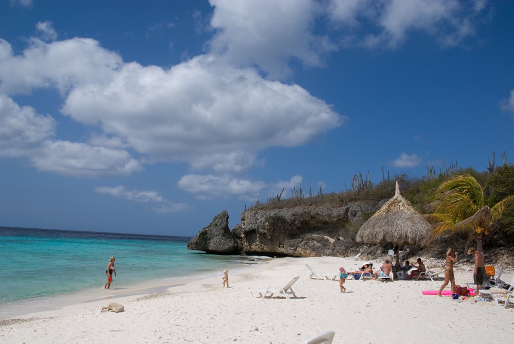
Banda Abou · Cas Abao
Settle in. There’s a whole day here.
Access, amenities & directions →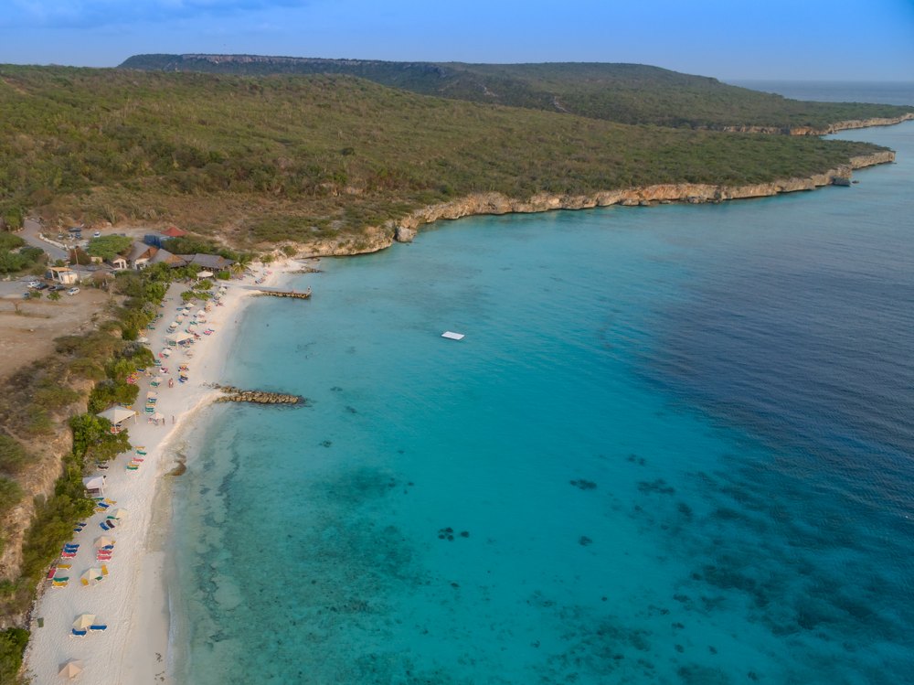
Banda Abou · Sint Willibrordus
A little beach time. A little reef time.
Access, amenities & directions →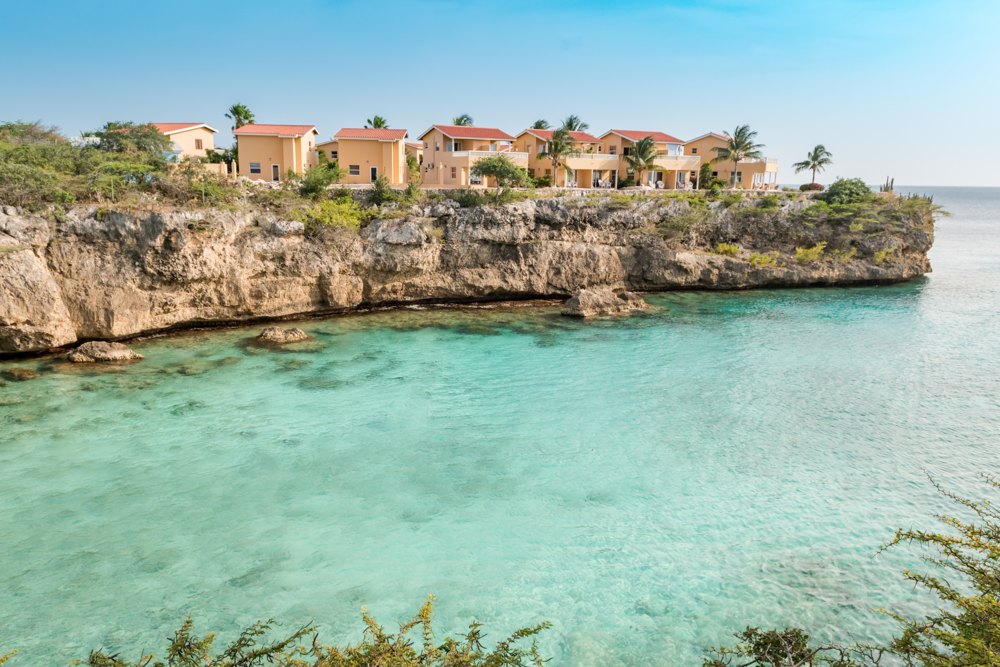
Banda Abou · Lagun
Small cove. Plenty to discover.
Access, amenities & directions →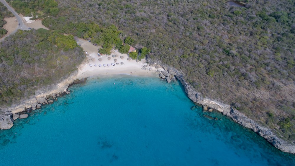
Banda Abou · Kenepa
The smaller cove with a big blue welcome.
Access, amenities & directions →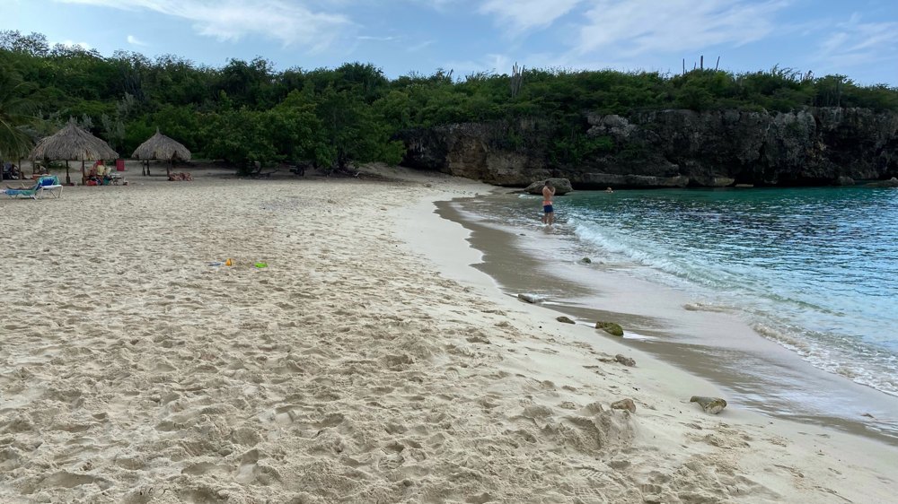
Banda Abou · Sint Willibrordus
An unhurried afternoon by the water.
Access, amenities & directions →Beach choices
Compare Curaçao beaches for scenery, snorkeling, restaurants and day trips, then build a beach day around your priorities.
Read the guide →Maps & routes
Plan a flexible western Curaçao beach day around Grote Knip, Kleine Knip and Lagun, with an alternative around Sint Willibrordus.
Read the guide →Transport
Plan beach hopping with ABC routes 6A, 3C and 9A: Mambo, Caracasbaai, Jan Thiel, Lagun, Kenepa and Piskadó, with single fares in XCG.
Read the guide →